A Cartographic Narrative
Visualizing the 1760-1761 Slave Revolt in Jamaica, the greatest slave insurrection in the eighteenth century British Empire.
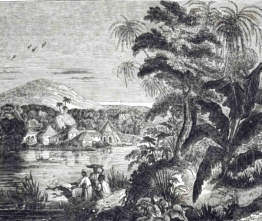
An engraving depicting a Jamaican sugarcane plantation during the sugar boom. African slaves harvested the sugar
In my opinion, spatial analysis represents one of the most compelling new modes of storytelling provided by the digital turn. David Bodenhamer noted the value of spatial analysis in an interview for The New York Times in 2011. The value of the “spatial turn” as some have termed it, Bodenhamer argued, is that it “allows you to ask new questions: Why is it that something developed here and not somewhere else, what is it about the context of this place?” These new questions that arise with the implementation of spatial analysis, as Bodenhamer suggests, add new features to historian’s traditional analysis of change over time. Projects like this week’s featured site, Slave Revolt in Jamaica, 1760-1761: A Cartographic Narrative, expand these investigations from change over time to change over time and space, both conceptually and visually.
Slave Revolt in Jamaica visualizes the story of the “greatest slave insurrection in the eighteenth century British Empire.” In 1760, in the midst of Britain’s Seven Year;s War, around 1500 enslaved men and women staged a massive insurrection in Jamaica; a struggle that lasted from April 1760 to October 1761. This project not only maps the events of this insurrection dynamically, providing an animated tour through the events of this insurrection, but also provides a curated archive of documentary evidence to support the data given on the map. The data and archive on the site was accumulated and organized by Vincent Brown, is a professor of History and African American Studies at Harvard University. Slave Revolt builds on Brown’s corpus of written analyses of death and slavery in the Caribbean specifically and the Diaspora more broadly.
It is important to note that this project, just like Brown’s written works, represents an argument. The “narrative” in the site’s title is not only descriptive, but also represents a central tenet of the project’s goals. This is not simply a map displaying data. It is a narrative of the events of the slave insurgency and an argument about the nature and character of the rebellion. Brown intended to use this map as a way to change the debate around “public perceptions of black insurrection. Brown explained in a 2013 interview:
As with more recent disturbances, people at the time debated whether the slave insurrection in Jamaica in 1760-61 was a spontaneous eruption or a carefully planned affair. Historians still debate the question, their task made more difficult by the lack of written records produced by the insurgents. Cartographic evidence developed . . . shows that the rebellion was in fact a well-planned affair that posed a genuine strategic threat, not an indiscriminate outburst.
In addition to the historical argument that Brown presents through the map, one of the most compelling things about this project is it’s simple, well-constructed design. Brown built Slave Revolt in Jamaica with Axis Maps, a company specializing in custom interactive maps (you can find some of their other collaborations here). David Heyman, the managing director of Axis Maps, noted the power of interactive mapping in a 2013 interview on the project for The Voice Online. “We wanted to build the simplest and most elegant map possible in order to provide users – expert historians and members of the public alike – a high quality and detailed narrative of the uprising, allowing them to understand the story visually as well as through text,” Heyman explained, “Interactive cartography provides a completely new method through which to interpret existing demographic and event data into a more rounded historical narrative, revealing surprising and unprecedented patterns that were previously hidden.” Slave Revolt in Jamaica is a compelling example of the power of interactive mapping for storytelling and scholarly analysis.
As always, feel free to send me suggestions via Twitter of sites you might like to see covered in future editions of The Digital Archive.